EARLY RARE MAP OF BRITISH ISLES BRITAIN 1578 Das Einder Buch Beschreibung Enge
November 6, 2024


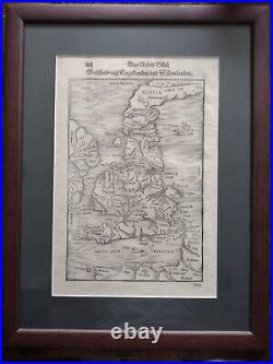
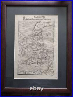
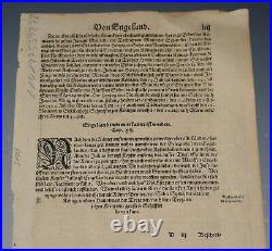
EARLY RARE MAP OF BRITISH ISLES BRITAIN 1578. Das Under Buch Beschreibung Engellandte und Schottlandte. A rare woodcut antique map of England and Scotland. Map is from the book. Page size 34.5 x 21.7 cm. Map is in very good condition for its age, engravings are clear. Text in Latin on the map. German t ext in title and on reverse. The item has been professionally framed with UV protection glass to ensure that the print is preserved in as best condition as possible.
