
1695 Moll Early Road Map England Wales Old Antique Map Extraordinary Shape RARE
April 23, 2020
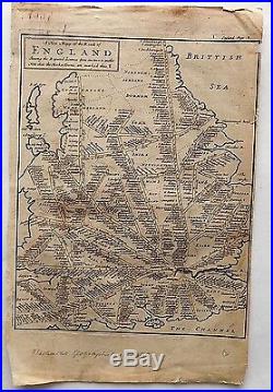
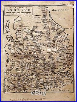
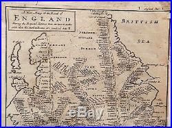
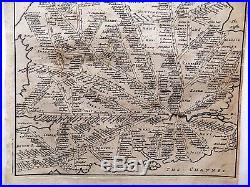
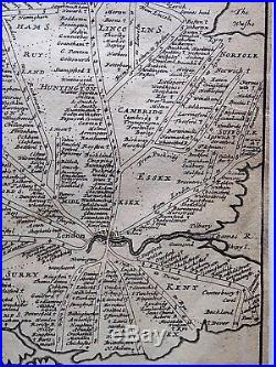
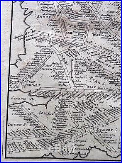
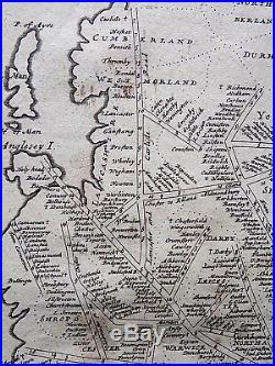
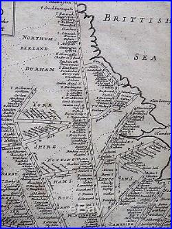
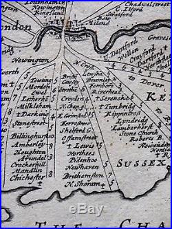
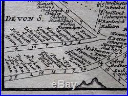
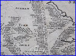

A New Mapp of the Roads of England, Shewing the reputed distances from one town to another. A page from the 1695 First Edition of Herman Moll’s “Thesaurus Geographicus” – page 8 to be precise. The map shows the main roads leading from London to the far corners of the Country – Edinburgh, Plymouth, Anglesey, Carlisle, etc. In an attempt to fit in all the names and distances, the shape of the Coast has been sacrificed, leading to a rather contorted map. The distances are not entirely accurate: London to Canterbury is estimated at 43 miles (in reality it is over 60) – and this would be a well-worn route. But the first road atlas of England had only been published some 20 years earlier, by Ogilby (titled “Britannia”), and many maps did not bother to show more than a few vague routes. So a fascinating early attempt to illustrate the main network of roads in England and Wales. One is reminded of Beck and his Underground map of some 230 years later which also sacrifices visual accuracy and scale for ease of use and design. Size: the sheet measures approx. 30.5cms x 20cms. Condition: Printed on two sheets of paper, joined passing through London. The page is grubby, but acceptable. There are small pieces missing here and there at the edges, those on the top right hand side entering the margin border. Please study the photos. Pencil title below the map and platemark. I have other antique maps, books, prints etc. The item “1695 Moll Early Road Map England Wales Old Antique Map Extraordinary Shape RARE” is in sale since Sunday, September 3, 2017. This item is in the category “Antiques\Maps, Atlases & Globes\Europe Maps”. The seller is “mitchmap50″ and is located in Fairlight. This item can be shipped to all countries in continental Asia, United States, European Union member countries, Canada, Australia.
- Antique/ Modern: Antique
- Date Range: 1600-1699
- Country/Region: England
- Format: Sheet Map
- Cartographer/Publisher: Moll?? Swall and Child
- Original/Reproduction: Antique Original
- Type: Road Map
- Year: 1695
- City: London
- Era: 1690s
