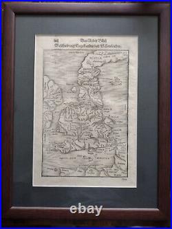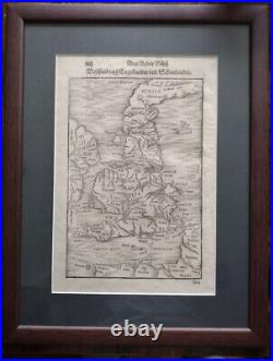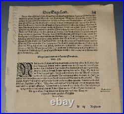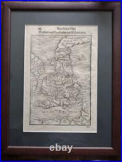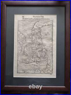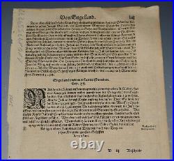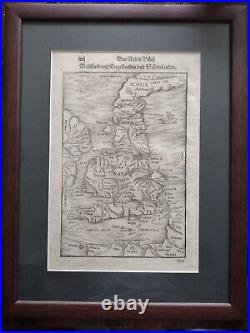
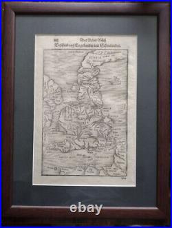
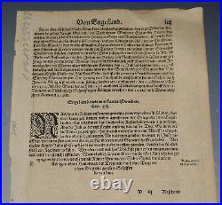

EARLY RARE MAP OF BRITISH ISLES BRITAIN 1578. Das Under Buch Beschreibung Engellandte und Schottlandte. A rare woodcut antique map of England and Scotland. Map is from the book. Page size 34.5 x 21.7 cm. Map is in very good condition for its age, engravings are clear. Text in Latin on the map. German t ext in title and on reverse. The item has been professionally framed with UV protection glass to ensure that the print is preserved in as best condition as possible.


